- Home
- Products
- Geophysical Instrument
- Logging Instrument
- Borehole Imaging System
Borehole Imaging System
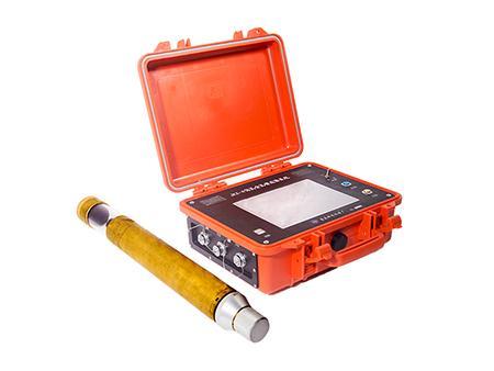
IntroductionsBorehole imaging system can get the images inside boreholes. The underground images generated via optical imaging are objective and authentic and have been widely used in geological survey and engineering investigation.
ApplicationThe borehole imaging system can help accurately determine lithological classification, investigate geological structure, locate soft mudstone interlayers, detect faults, fractures and fractured zones and observe underground water activity etc.
In engineering construction, the borehole imaging system can be used to examine pouring and grouting quality, assist geological mechanic tests, help monitor and detect geological disasters, provide guidance for underground equipment installation, inspect underground pipelines and advanced detection for tunnel construction.
Specification| Collection mode | Mosaic mode, vedeo mode, mosaic+video mode |
| Mosaic mode | Pull-up mosaic, pull-down mosaic |
| CCD | 1/3 inch, 700 lines lossless HD |
| Image vertical resolution | 0.1mm |
| Image horizontal resolution | 1024 PPI |
| Depth measurement accuracy | 0.01m |
| Depth error | 0.10% |
| Azimuth accuracy | ±0.1° |
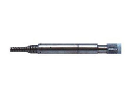
| Probe outer diameter | Φ60mm |
| Appropriate borehole diameter | Φ70~300mm |
| Descending speed | 2m/min~8m/min |
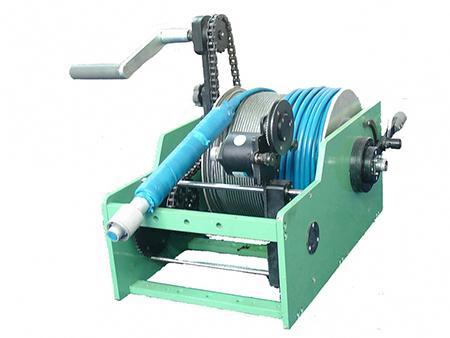
| Cable length | 300m (150m, 600m, 800m optional) |
| Battery life | 8h for 300m (able to connect external battery or adapter) |
- High image resolution. Clear borehole image and video without shutter interference or time delay.
- Great processing speed. Even during image mosaic or video recording, the fastest processing speed can be up to 10m/min.
- Continuously adjustable probe brightness ensures clearing image of various objects.
- The system is stable and reliable. All-solid-state structure endows the instrument with nice aseismic properties. Sealing technology based on comprehensive logging system ensures waterproof effect of probe and the main unit.
- Special fish-eye image processing repairs nonlinear distortion caused by fish-eye camera and losslessly restore it into 2D column.
China Geological Equipment Group Co., Ltd.
Add.: 5th Floor, Botai Mansion, No. 221 Wangjing Xiyuan, Beijing 100102
Contact Us:
Tel: +86-510-83769831

 English